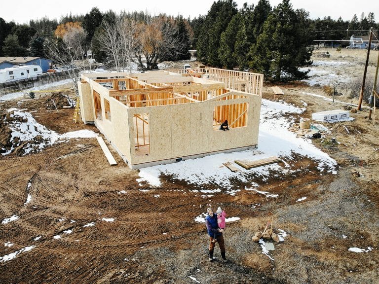
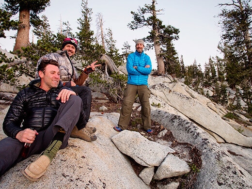
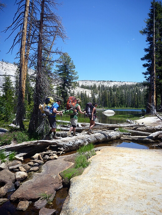
After acclimatizing at Raisin Lake for two days, we were rested, relaxed, and excited to begin (like, truly begin) our backpacking journey from Yosemite High Country to Yosemite Valley. Another friend was meeting us for this leg of the trip, so our threesome soon became a foursome.
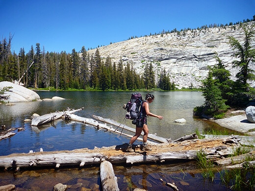
From the parking lot at May Lake, we drove to the trailhead at Tenaya Lake early Friday morning with our backpacks full of the next five days’ worth of food. Being quite the lavish backcountry cook, it was nearly comical. My pack weighed at least 45 pounds and my first thought as I took off from the trailhead was… Damn, I need to start eating all this food.
For a quick moment I considered gorging myself the first day, losing all the pack weight, and suffering with starvation the rest of the trip. But I resisted, which I was thankful for in my final days when I made the world’s best pasta for dinner (at least, it seemed like the world’s best pasta at the time, complete with sun-dried tomatoes, porcini mushrooms, and grated Parmesan).
We passed Tenaya Lake at the start and it was tempting to just park it on the side and camp right on the lake. Tenaya is a Yosemite classic: a glassy, pristine pool of water surrounded by massive granite domes and pine forests. You could walk right out into the lake and still be knee-deep in water for at least 50 feet. It’s the largest lake in the High Country, and being right off the road, it’s also one of the most visited.
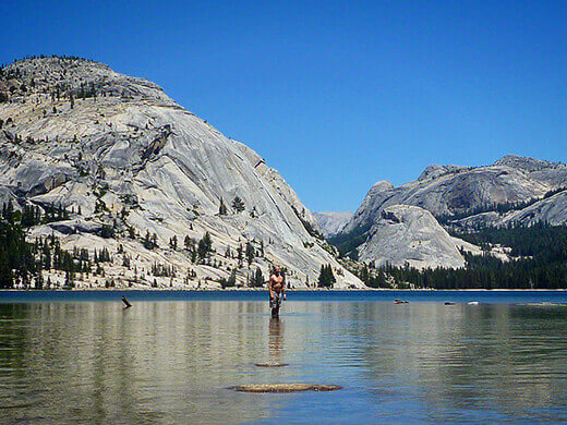
Just two summers ago on a road trip, I went kayaking on Tenaya Lake after a particularly heavy winter. Some of the smaller lakes, like Tioga, were still frozen, and rainstorms caused other lakes to overflow. What was normally a rock hop over the Tenaya outlet turned into a lake ford that year, with some sections waist deep.
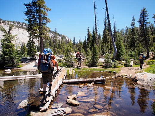
As we set out for Sunrise Lakes, I found it so interesting that we were on the same trail I’d paddled over that summer, while watching other hikers wade across with their backpacks over their heads. The lake level was much lower this year after an unseasonably dry winter, but stunning nonetheless. It quickly fell out of view as we headed deeper into the forest toward Sunrise Lakes.
I knew this day would be the most challenging of the whole week, due to the elevation gain and the pack weight, but the first mile and a half of our trail was quite deceiving. It was fairly flat, with some downhill, and we were already used to the high altitude. But after skipping along without a sweat, we reached a series of steep switchbacks that was so brutal, I was trying to conjure a sherpa to carry my pack to the top. And maybe me on his back as well.
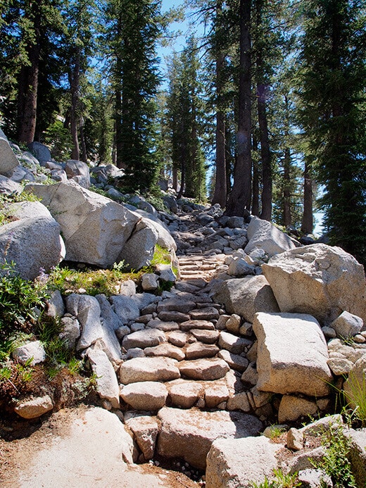
In the hot afternoon sun with hardly any shade, we trudged up a thousand feet vertical in a single mile. It felt like many miles. (And as I came to discover over the course of that week, even a measly 2 miles would feel like a strenuous 5 miles in the end. Amazing what a difference a pack makes at altitude).
By the time we reached the top at the trail juncture, I was a sweaty and sun-baked mess. Nothing a handful of chocolate couldn’t cure though (let me tell you… Trader Joe’s Powerberries, combined with their choco-covered espresso beans, will cure anything).
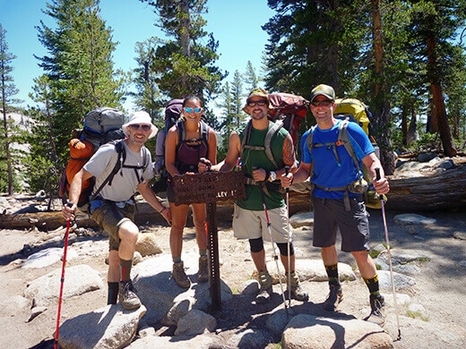
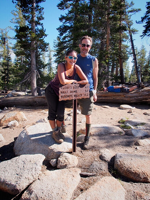
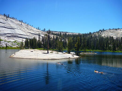
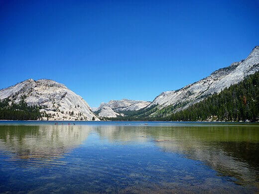
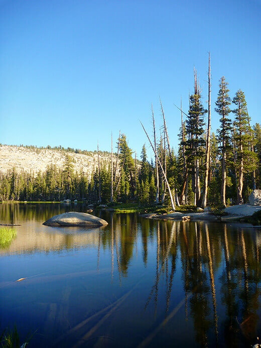
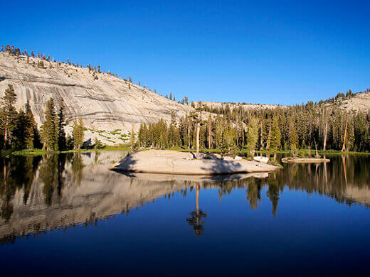
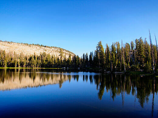
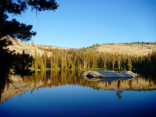
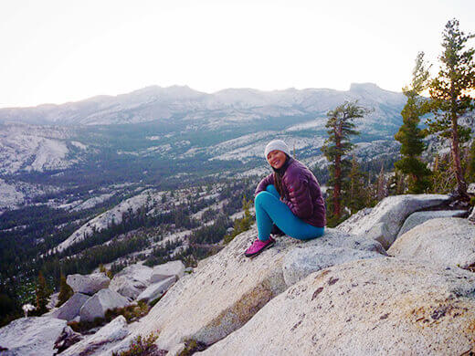
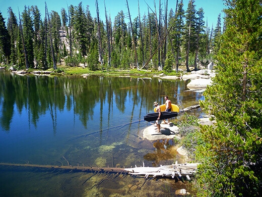
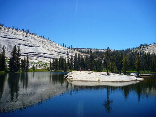
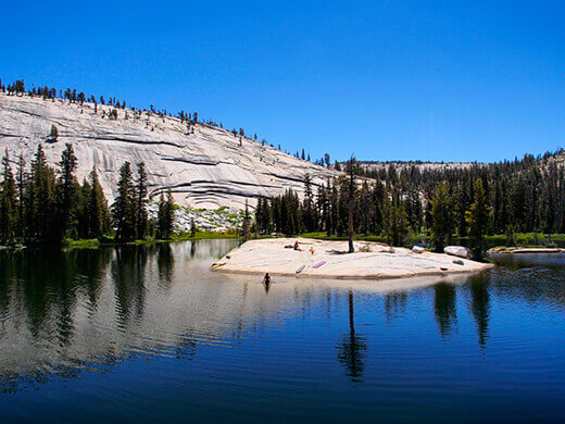
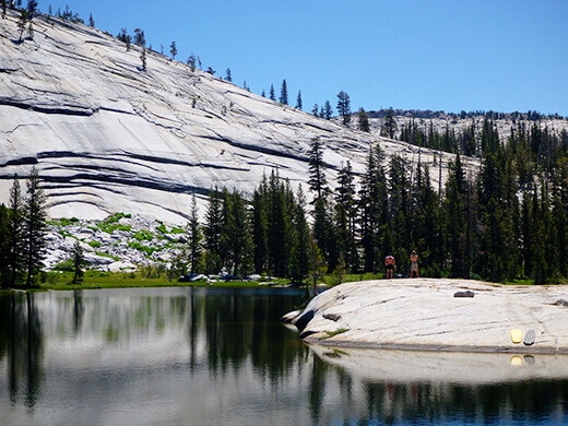
At the juncture were signs leading to several different destinations. There were trails to Cloud’s Rest, Half Dome, and Yosemite Valley (all of them on our list), and many hikers were on their way to one of them. But we turned left on the trail to Sunrise Lakes, a series of three lakes so small that combined, they’re still less than half the size of Tenaya. But what they lack in size, they make up for in seclusion.
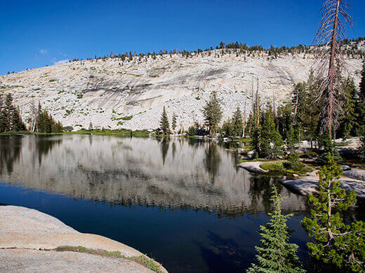
We reached the first Sunrise Lake after half a mile, a beautiful blue gem right next to the trail. We stopped for a moment to take in the view, but pushed on to the second lake, our final destination.
While the trail goes right along the shores of the first and third lakes, it passes just 300 yards south of the second lake. Day hikers could easily miss the turn-off, meaning we’d see less people at the second lake. The second lake is also the only one with a little island in the middle of it, which we’d seen on Google Maps before deciding which one to camp at.
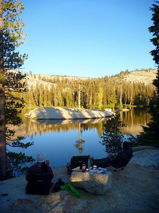
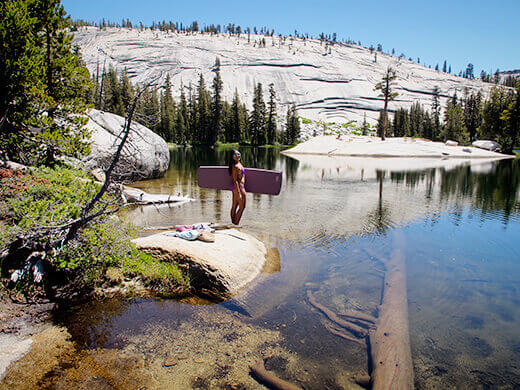
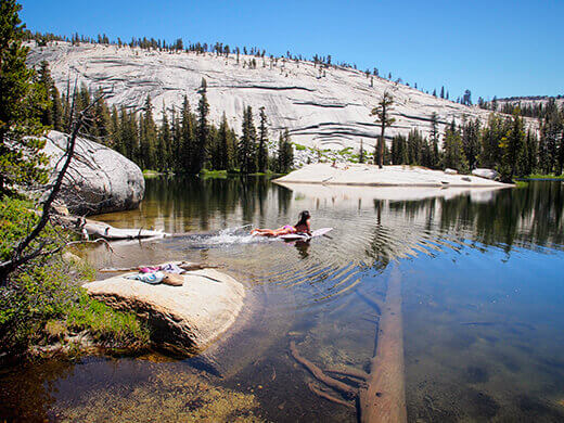
When we arrived, there was not another person around. I immediately threw off my clothes and jumped in the lake in my underwear… I had been waiting all day for this!
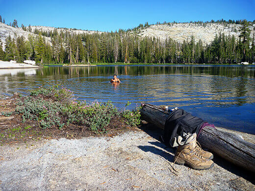
Sunrise Lake wasn’t as warm as Raisin Lake, but the cold water woke up all of my tired muscles within seconds. The sun was still on the lake, warming my face and my back as I swam around.
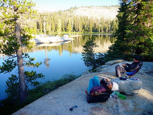
After setting up the tents, we pulled our chairs up to the shore and opened some wine to celebrate. (For the remaining five days on the trail, we’d carried the equivalent of four bottles of wine with us and made sure none of it was wasted!)
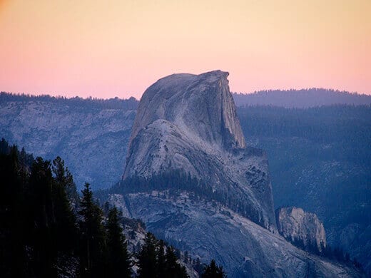
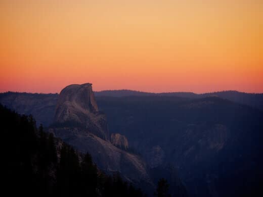
Just before sunset, we followed a stream behind our tent and walked about a hundred feet to the edge of a ridge… We had no idea we were so close!
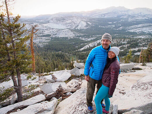
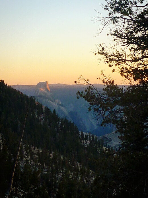
Not only were we on a lake, we were also camped high on a ridge that overlooked Yosemite Valley. In the glow of dusk, Half Dome was awash in shades of pink and orange.
I really did not want to leave the next day and wish we’d packed an extra couple of days into our itinerary. Right as we were getting into our groove, totally set up with our tents and our clotheslines and our fire pit and our makeshift kitchen, we had to tear it all down for the next journey. Doesn’t it always feel that way when you’re camping?
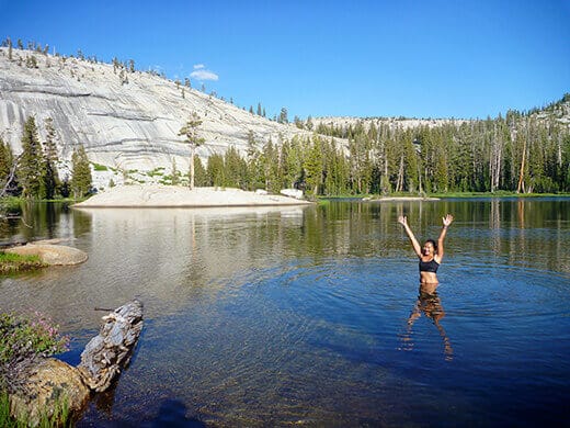
With the next stop on our hike far away from any source of water, we took advantage of the lake as long as we could. Again, alone… and on a weekend, no less.
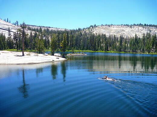
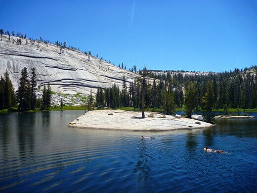
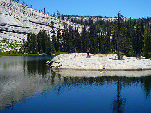
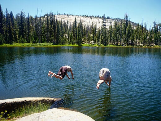
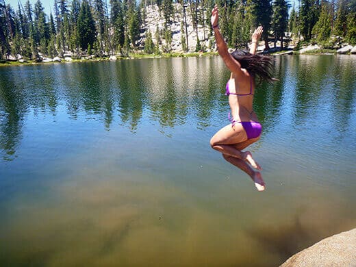
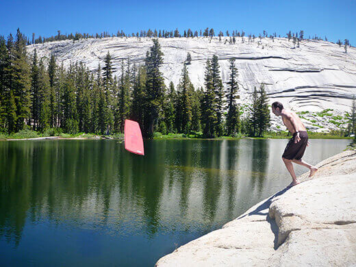
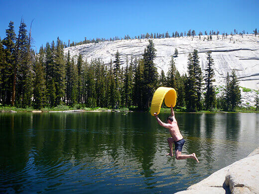
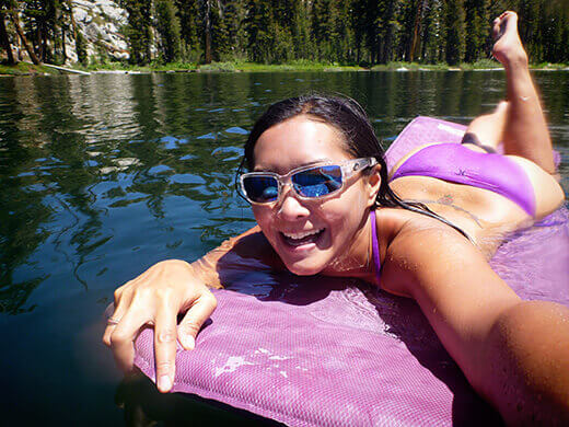
Even though we could swim across this lake and back without much effort, we still felt very, very small in the grand scheme of things.
Feeling energized from our dip, we strapped on our packs and set out for the next leg of our adventure: Cloud’s Rest. As heavenly as it sounds!
Trail map: Click here
Segment log: 4 miles with 1,300 feet elevation change
Next segment: Sunrise Lakes to Cloud’s Rest
Read the full “Epic Yosemite” series:
- Backpacking to Raisin Lake
- The Start at Tenaya Lake
- Sunrise Lakes to Cloud’s Rest
- Cloud’s Rest to Little Yosemite Valley
- Climbing the Half Dome Cables